
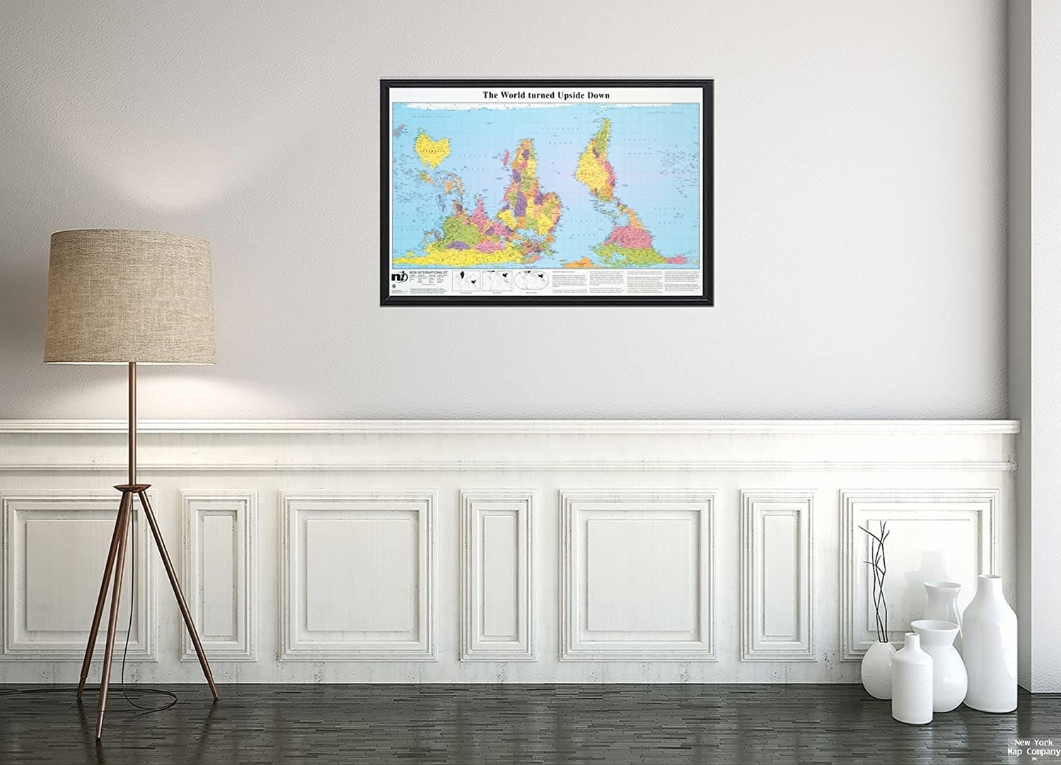
If you want something unique to hang on the walls of the home or office, try world map canvas available in eye-catching and bold colours. Some of the maps represent the world as a flat image or how it looks when seen from the eyes of birds. A world map projection is usually just a representation that makes use of a grid composed of lines of longitude and latitude. Any representation is simply considered as an interpretation.
Top 10 world map projections
- Mercator is a projection that was developed by Gerardus Mercator in 1569. It was created for navigational purposes but since it represents lines of constant course from coast to coast, it became an ideal map for sailing.
- Robinson map that was developed by Arthur Robinson in 1963 is known as a compromise because it does not correctly show the shape and landmass of countries. While it was more of a visual trial and error development of shapes and sizes, the curved meridians gave it a nice spherical look that can be used as wall art.
- Dynamaxion projection was released in 1954 by R Buckminster Fuller. It represented the earth’s continents as one island with no “right way up.” Fuller’s map has since inspired artists to use dynamaxion projection in map art.
- Gall-Peters projection is a cylindrical map projection with more accuracy in surface area. Because of the true proportions of countries to one another, the Peters’ world map was adopted by schools and businesses across the world.
- Sinu-Mollweide projection fuses the Sinusoidal projection that was initially used during the 16th century. It challenged the assumption of how flattened earth will look like. The bold graphic view offers a special bird’s eye view of the globe.
- Goode’s Homolosine’s projection that was developed by John Paul Goode regains the accuracy of country sizes with interruptions in the ocean areas. The map projection looks like an orange peel.
- Autha Graph or HajimeNuraukawa’s map divides the spherical surface of the map into 96 triangles which when projected into a tetrahedron can be unfolded into a rectangle.
- Hobo-Dyer projection that was developed in 2002 is considered a cylindrical projection because of the straight lines of longitude and latitude to show an alternative view of the planet.
- Peirce Quincincial is a projection that presents the North Pole at the centre with four quadrants around it.
- Winekl Tripel projects the globe as a flat surface with curved lines of latitude and curved meridians. It has a lovely spherical feeling.
When these map projections are framed properly, they can be used as a statement piece on the wall. They have something that is truly unique but often represents a visual challenge. They are perfect gifts for map lovers of all ages.